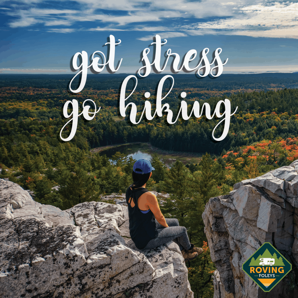
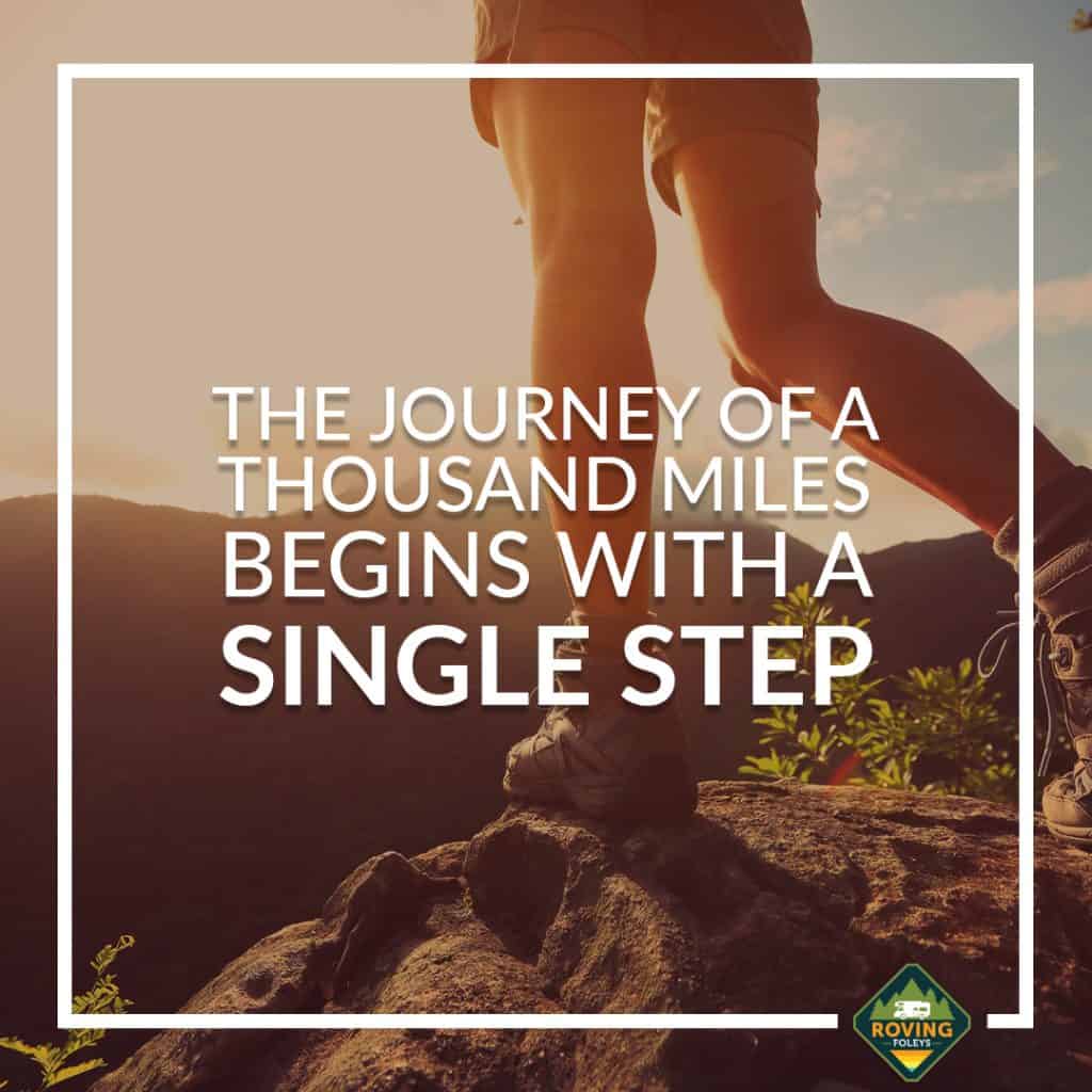
Did you know that the Great Smoky Mountains is the most visited National Park in the U.S.?
Receiving over 12 million visitors just last year (2019), the Smokies (as most visitors lovingly refer to it) surpassed even the “big name” parks out west, such as Yosemite and the Grand Canyon.
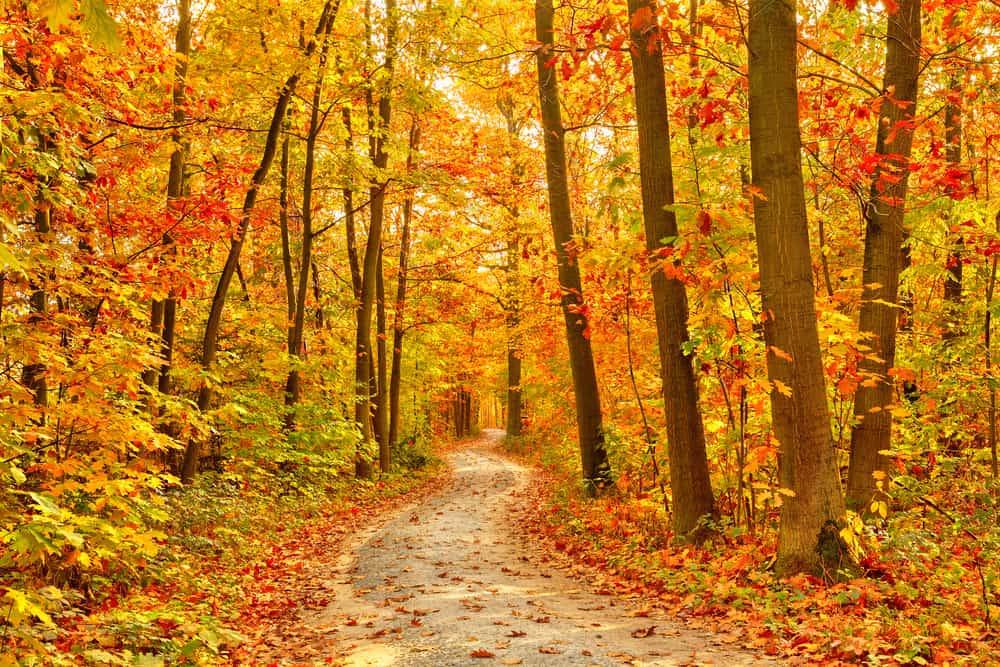
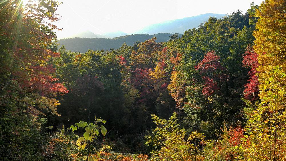
If you’ve ever seen any pictures from the park, it’s not hard to see why this 522,000-acre park is so popular!
Here are some more fun facts about the Great Smoky Mountains NP.
- 850 miles of trails, 70 of which belong to the Appalachian Trail!
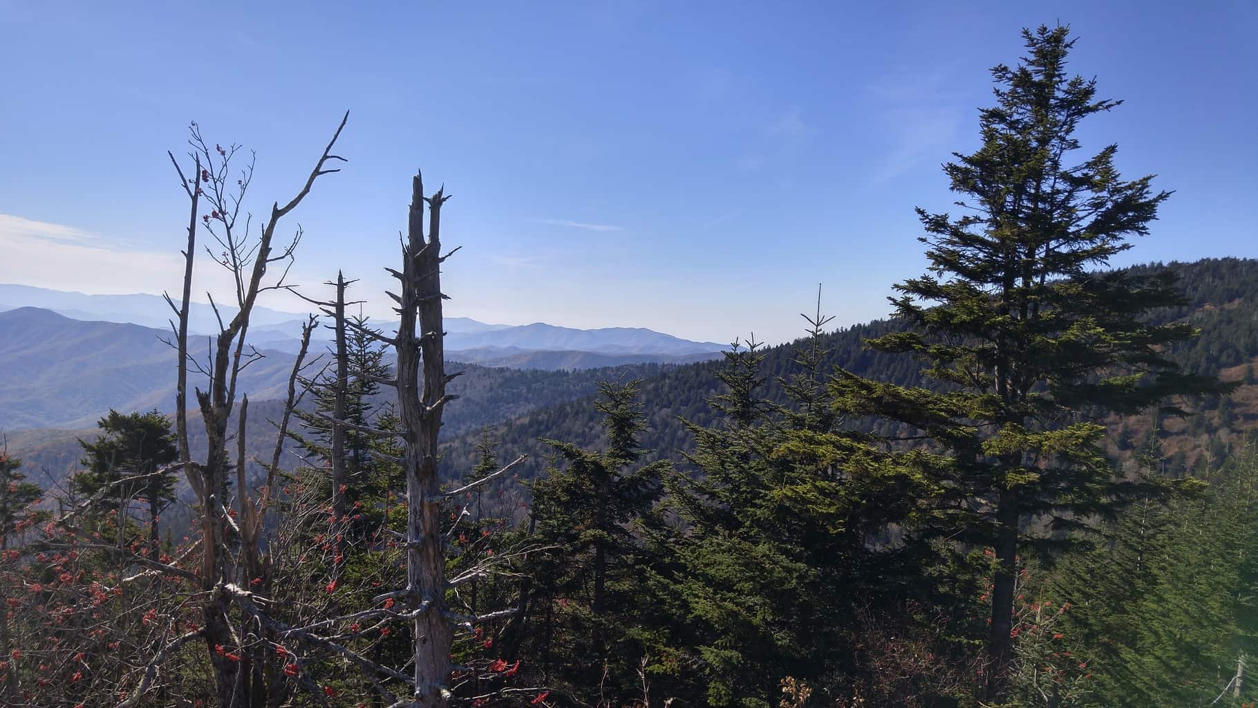
- Speaking of the AT, Clingman’s Dome, one of the most popular destinations in the park, is the highest point along the trail at 6,643ft. There are over a dozen more peaks in the park that reach above 6,000ft as well.
- If you’re into backpacking, there are over 100 backcountry campsites and shelters. (Be sure to book these in advance!)
- For those looking for something a little less wild, the park service operators 10 front-country campgrounds throughout the park.
- The park is divided almost evenly between Tennessee and North Carolina.
It probably goes without saying that the Smoky Mountains are one of the top hiking destinations in the eastern states.
Depending on where you look, there are around 70-80 hiking trails in the Smokies. With that being said, you won’t have a problem finding just the right one for your time constraints and physical abilities.
With so much trail information to pour over, we thought we would help make your Great Smoky Mountains National Park trip planning easier by arranging some of the most popular trails in order of difficulty.
Looking for a short, easy trail to do with young children in tow? Scroll to the “Easy” section. Want something to keep you occupied for a few hours with some great scenery? Head to the “Moderate” area.
If you don’t mind a challenge to see some of the most breathtaking views in the park, skip right ahead to the “Strenuous” section. Here are some essentials you might want to take when visiting any National Park.
Please enjoy our list of Smoky Mountain trails by difficulty rating.
Smoky Mountain Trails By Difficulty
Before we jump right into the list, here are some things to keep in mind while planning your trip:
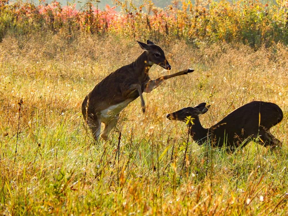
- Be bear aware. Black bears are pretty active in the park despite the large number of visitors. Be sure to make a loud noise of some sort now and then to let any animals nearby aware of your presence. Most bear attacks occur from being startled. Also, be on the lookout near berry patches as bears love foraging for blackberries and raspberries too.
- The best times to visit vary. Although the dense forest and elevation provide some relief, the summer months can be unbearably hot and humid. Plus, the park’s busiest month is July. Spring and fall are your best bets, though you may have to contend with “Spring Breakers” and “Leafers” or “Leaf Peepers” during those times. (October is particularly busy with fall foliage-seekers.)
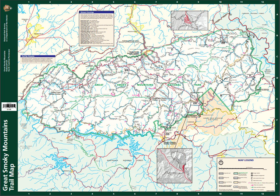
- Here is a National Park Service (NPS) trail map to consult while reading up on the hikes below.
You may be wondering what some of the “must-see” or “best” hiking trails in the park are. While that is a matter of opinion, these are some of the most popular and scenic ones in the Great Smoky Mountains:
- Abram Falls
- Alum Cave Bluff
- Laurel Falls
- Trillium Gap (which leads to both Grotto Falls and Mt.Leconte)
- Cades Cove Loop
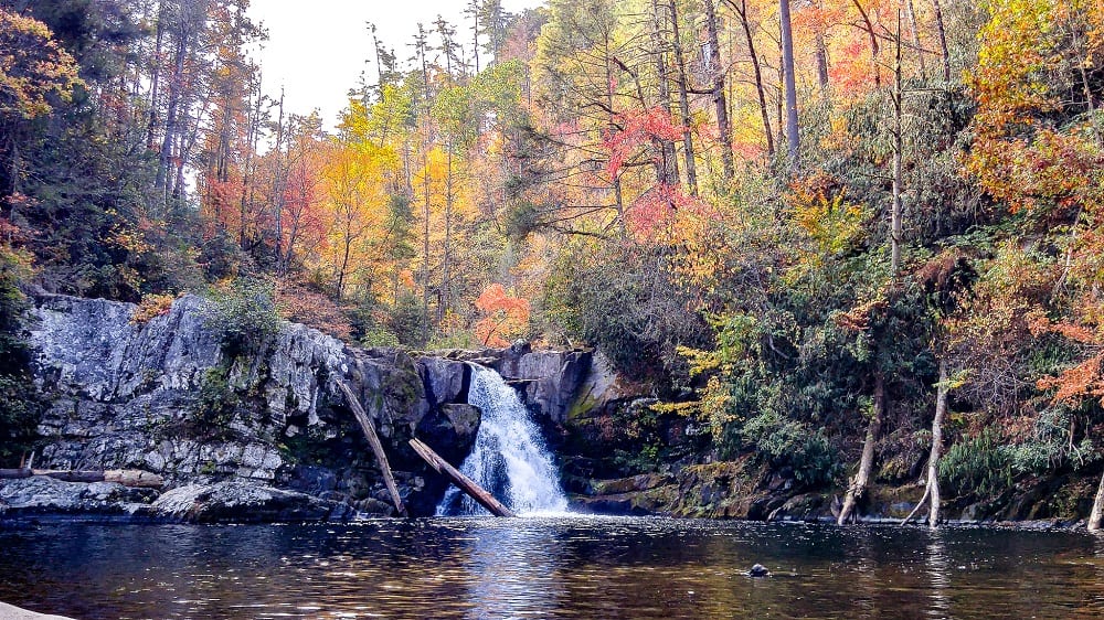
- Ramsey Cascades SMNP tallest waterfall
- Rocky Top
- Big Creek Loop (which leads to Mt.Sterling)
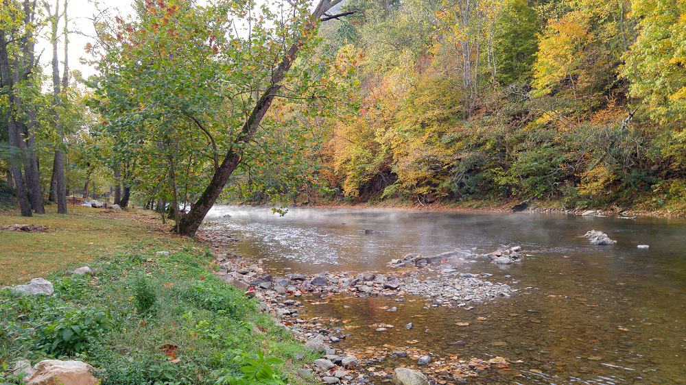
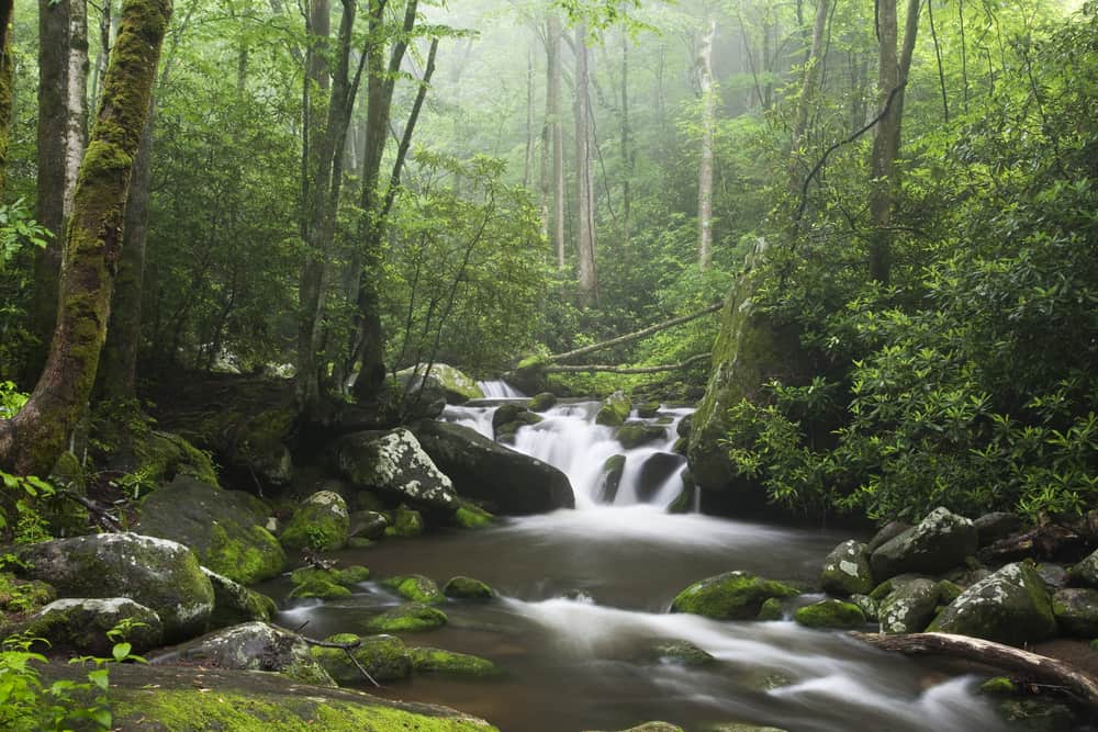
You can’t really go wrong with any hike you choose here. Plenty of waterfalls, old-growth forests, and scenic vistas from mountaintops await!
Please keep in mind that we have endeavored to include the roundtrip length of each trail. Make sure you double check to be sure.
Without further ado, here are the best Smoky Mountain trails by difficulty along with this park map.
Easy Trails
Spruce-Fir Trail
If you’re already on your way up to Clingman’s Dome, take a break and stretch your legs on this short .35-mile trail.
You’ll gain an easy 25 feet in elevation as the quiet forest hike takes you through evergreen forest along boardwalks for much of the short distance. Be sure to look for quartz rock underfoot and a beautiful array of wildflowers in the springtime!
Toms Branch Falls
There is no shortage of waterfalls in the Smokies. Head out on the .6-mile Toms Branch Falls trail for one of the easiest to get to ones in the park.
It should be noted that the falls are actually accessed via the Deep Creek Trailhead, which is on the North Carolina (NC) side.
The 80ft falls can be found a mere .3-miles into the trail and there are several other cascades a short distance away too. The Deep Creek Campground is also nearby.
Juney Whank Falls
Speaking of nearby falls, the 80ft tall Juney Whank can be located just a quarter-mile from the Deep Creek Trailhead parking lot. Although it is an easy hike, the 194ft ascent to the viewing area is on the steep side.
Indian Creek Falls
Since you’re already in the area, you might as well head to Indian Creek Falls too! After heading down the Indian Creek Trail and another short spur trail to the falls themselves (about .6-miles past Toms Branch Falls) you will find this lovely 45ft cascade.
This trail, and many in the park, is particularly enjoyable in the spring with all of the wildflowers blooming, including trillium, bloodroot, and dwarf iris.
Laurel Falls
As mentioned above, this is one of the more popular spots in the park, especially being near the tourist town of Gatlinburg, so it’s suggested to go during non-peak hours and days.
This trail is a bit longer than the previous ones at 2.3-miles round-trip, but should still be doable by most with around 300ft of elevation change altogether.
It is paved due to erosion issues that started occurring several decades ago from its heavy use, but it has been noted that parents should keep a close eye on kids near the intermittent steep drop-offs along the edge.
This 80ft high waterfall is worth the relative ease of getting to it, though, and is said to be one of the best in the park.
Oconaluftee River Trail
This trail is easy enough to find, located right behind the Oconaluftee Visitor Center located near Cherokee, NC, and is easy to enjoy as well at 3-miles round-trip with a meager 70ft in elevation gain.
This trail is only one of two in the entire park you can also enjoy with your canine friend or on a bicycle. Aside from the soothing sounds of the river water and shade trees overhead, be sure to check out the Mountain Farm Museum before or after you begin your journey, which is located right behind the visitor center.
“From waterfalls to meditative forest walks to 6,000ft+ mountain peaks, you’re sure to have a great experience in the Great Smoky Mountains National Park.”
Little Brier Gap Trail
Although quite a ways out on the Tennessee side of the park, this little trail is full of history. The main highlights of this 2.6-mile trail are the remnants of the Walker family’s property and small mountain community of Little Greenbrier.
You’ll come upon the schoolhouse near the trailhead and the Walker Sisters homestead further down the trail. The trail itself is fairly easy walking with a wide footpath and only 285ft of elevation gain. If you’re a history buff, you’ll enjoy this information on Hiking in the Smokys.com.
Grotto Falls
For an easy to get to waterfall, head a few miles outside of Gatlinburg to the Trillium Gap Trail. Consider taking some extra shoes as you will have to cross several streams along this relatively level 2.6-mile trail.
While Grotto Falls is only 25ft tall, it is the only waterfall in the park you are able to walk behind and the cool air rising from the water and rock alcove makes for a nice retreat on a hot, summer day.
This is one of the best winter hikes in the Smokys as well.
Chasteen Creek Cascade
This 3.6-mile hike starts you off on the Bradley Fork Trail near the Smokemont Campground on the North Carolina side. There are several junctions you must take to get to the falls, so be sure to have a good map with you. (It should also be noted that much of this trail is shared with horses, so watch where you step!)
This is a great hike to take on a hot day as it meanders along next to the creek and dense foliage before reaching the 30ft long cascade.
Goldmine Loop
Begin your 3.1-mile journey on the Lakeshore Trail…Right after proceeding through a 1,200ft long tunnel! If you’d prefer not to walk through it, you can hike clockwise and take the Tunnel Bypass Trail.
You’ll find the actual Goldmine Loop trail a short distance down the Lakeshore one.
Hiking is pretty easy for the first half of the trail to Fontana Lake, which is very picturesque with the mountains jutting up behind it, but you’ll be climbing the way back with some rather steep sections. (Total elevation gain is 615ft.)
Schoolhouse Gap Trail
If you’ll already be heading out to the Cades Cove area, stop by the Schoolhouse Gap Trail for a shorter, quieter stroll through the woods.
You’ll follow alongside a small creek for the first part of the trail and feel as if you’re enclosed in a tree tunnel.
This trail is particularly great if you love wildflowers, which are abundant during the spring and even later in the summer, with beautiful dark purple ironweed and fuzzy pinkish Joe-Pye weed, amongst others.
Baskins Creek Falls
The waterfall hikes continue with the trail to the 40ft tall hidden gem Baskins Creek Falls. This 3-mile round-trip trail takes you down a steep descent next to the Falls Branch creek after crossing over it.
Pass by a couple of other trail junctions before an even steeper descent down to the falls. Just remember: What goes down, must come back up! Seeing this underrated 2-tier waterfall in-person is worth it, though!
Other Articles You May Enjoy
- Hiking Zion National Park
- Hiking Bryce National Park
- RV Length For EVERY National Park Campground
- Best RV Destinations For This Year
Moderate Trails
Big Creek/Mouse Creek Falls
Although rated as moderate, this hike is still good for adventurous beginners and families with older children. A former grade, the path is wide leaving from Big Creek Campground. Although you’ll be going uphill, the path ascends gradually.
One of the best parts is hiking alongside the boulder-strewn creek for half of your journey before reaching the 45ft Mouse Creek Falls.
There are several smaller falls along the way, so don’t confuse these with the main attraction and keep going until you’re a little over 2 miles into the trail!
Flat Creeks Falls
If you’re looking for a hike in the Smokies that offers a little bit of everything, this 5.2-mile trail on the NC side is for you. You’ll come across some doable steep sections, but for the most part it’s not challenging.
You will cross the creek several times, passing through forests of hickory, spruce, and oak mixed with stunning views.
Unfortunately, the side trails to the two waterfalls don’t seem to be maintained anymore, but it’s still a very enjoyable, short day-hike. Plus, you might just see some elk on your hike too!
Andrews Bald
If you don’t mind popular trails and are seeking some more stunning mountain views in the area after visiting Clingman’s Dome, be sure to check out the Forney Ridge Trail to Andrews Bald.
The trailhead is conveniently located at the end of the parking lot. While only 3.5-miles in length, you can be assured you get your “steps” in for the day with nearly 900ft of elevation gain!
Your journey begins in a spruce-fir forest and continues to the highest bald, which is a “high elevation grassy meadow”, in the park. If the wildflowers don’t impress you here, the views will!
Porters Creek Trail
This trail is full of history, wildflowers, and even a waterfall at the end! The Porters Creek Trail traverses 4-miles altogether with an elevation gain of 700ft.
After your first footbridge crossing and about a mile in, you’ll find a very short spur trail that leads to an old barn and cabin.
After the second footbridge you can find a ton of wildflowers in the spring before eventually reaching the 60ft Fern Branch Falls, which is especially spectacular after a heavy rain. This is considered one of the absolute best wildflower hikes in the park, and the trail features so many different varieties you are bound to be amazed.
Abrams Falls
For a popular hike (for good reason) in the Cades Cove area, see what the 5.2-mile Abrams Falls Trail has to offer. You’ll meander your way across forested ridgelines and alongside Abrams Creek before reaching the 20ft Abrams Falls about 2.6-miles into your trek.
Although shorter in height than many other infamous falls in the park, these falls are the most voluminous and create quite a display!
Don’t be tempted by the large pool at the bottom, though, as undertows are a very real concern in this area.
Little River Trail
Like several other trails in the park, this 5-mile trail came about from old railroad sections used back in the booming logging times of the 1800s. As such, the elevation change isn’t horrible at 400ft. Keep your eyes on the river and you may be lucky enough to spot some river otters.
You’ll come across the small, but relaxing, 20ft Huskey Branch Falls cascade a little over 2 miles in.
Most people turn around shortly after this area, but you have some opportunities to extend your hike from the Cucumber Gap Trail intersection, if you wish.
Deep Creek Loop
If you’re up to extending your hike from the Toms Branch and Indian Creek Falls area mentioned in the “easy” section, then continue past the latter for a 4.6-mile loop through valleys and up ridges.
After passing over the creek, it’s not long before you make a steep ascent (350ft over half a mile) up to Sunkota Ridge.
Luckily, the trail is much easier after this as you make your way back down to Deep Creek. If you haven’t already checked it out, be sure to take the spur trail to Juney Whank Falls (80ft) near the end of your hike.
Meigs Mountain Trail
This 4.6-mile trail takes you along Blanket Creek, past old homesites, across Meigs Mountain, and a small cascade. By now, you’ll probably have noticed that there are many interconnecting trails within the Great Smoky Mountains.
This trail is one such trail that can be extended another 1.3 miles or 4 miles for an all-afternoon excursion.
There is truly something for everyone in the Great Smoky Mountains. Nature lovers can take advantage of numerous hiking trails, tubing opportunities down the Pigeon River, scenic drives and even a one-of-a-kind synchronous firefly festival.
Kephart Prong Trail
Located near Cherokee, this 4.2-mile out-and-back trail may be relatively short for a day-hike, but with nearly 1,000ft of elevation gain, it is sure to get your blood pumping up its gently inclines.
Not long into your hike, you’ll come across the remains of an old Civilian Conservation Corps (CCC) camp.
If you’re not familiar with this group, they were integral in building many of the structures and trails in both national and state parks in the early 1900s.
Past here you’ll begin your climb up part of Mt.Kephart, crossing several footbridges over the roaring, boulder-filled creek along the way.
Hen Wallow Falls
Be prepared to climb on this 4.4-mile trail as your hike will be straight up 900ft! Like many waterfalls, Hen Wallow is even more majestic after a heavy rain.
Speaking of which, if you go in the spring, you’ll also be afforded photo-worthy views from the base of the falls of trees along the creek framing the distant mountains. If you have kids with you, they’ll love checking out the small cave nearby as well.
Rough Fork Trail
If you’re looking for a moderately challenging hike, the 2,000ft of elevation gain along this 6.5-mile trail north of Cherokee will not disappoint!
You’ll pass by the Steve Woody House before the trail begins its ascent, offering great views of the Cataloochee Divide along the way, before returning to heavily wooded areas.
Alum Cave
This 4.4-mile trail is one of the most popular trails in the park not only because of the beauty of the Alum Cave bluffs, but it is also the main route visitors use to reach Mt.Leconte.
Enjoy the easy hiking up to Arch Rock before ascending the rest of the 1,125ft of elevation as you pass Inspiration Point and views of the Anakeesta Ridge before finally reaching the bluffs, which afford amazing views of the surrounding Smokies.

Huskey Gap Trail
Located only a couple of miles from Gatlinburg, this 4.2-mile hike takes you up 1270ft and is great for wildflower viewing in the spring.
If you’re looking for views of the surrounding mountains through the trees, be sure to visit this trail in the fall or spring when foliage is still sparse. You can also travel a little further up the trail for some better views.
Chimney Tops
Another popular attraction in the Sugarland Mountain area near Gatlinburg is the Chimney Tops knobs and its viewing area, which gives you some of the best panoramic views of the park.
Don’t let the Chimney Tops Trail shortness (3.3-miles altogether) fool you, though. With over 1,400ft of elevation gain, be prepared for a steep hike to earn those views!
Kanati Fork Trail
Likely you’ve noticed that the trails on our list aren’t necessarily increasing in difficulty due to added mileage, but steadily increasing elevation gains.
The Kanati Fork Trail continues this trend at 4-miles in length with 1,500ft of elevation gain. This trail can be difficult to find and is a ways out in the woods, so you should be able to enjoy some quiet solitude amongst the trees.

Check out these AWESOME storage solutions from our friends at Organized Obie. An AMERICAN company specializing in storage and safety solutions for RVs, vehicles and homes!
Use code ROVINGFOLEYS and get a 5% discount on your order!


Cucumber Gap Loop
The Cucumber Gap Loop is located near the Elkmont Campground and can be accessed through the Little River or Jakes Creek Trailheads we’ve covered above.
You’ll follow the Little River Trail for about half of your journey, enjoying fairly easy hiking next to the cool river which is also known for having river otters and the huge eastern hellbender salamander!
After reaching the Cucumber Gap Trail junction, you’ll make a steady climb up a root-tangled path until the 4-mile mark before descending the last few miles back to the trailhead.
Grapeyard Ridge Trail
This 5.8-mile trail is full of creeks and is best to visit during the summer and fall as the wet springtime can make these crossings difficult.
However, the trail also offers views of some of the higher nearby mounts, including Chapman and Sequoia, which are both over 6,000ft high.
You’ll be climbing most of the way (980ft altogether) to James Gap, with a short descent to Injun Creek where you can find the remnants of an old steam engine.
Deep Creek Headwaters
There is much speculation about how long this trail is, which trails you take to stay on it, and whether it is the same as other trails in the area.
Lengths range between 5 and 10 miles, taking the Deep Creek Trailhead past Toms Branch Falls, but continuing past the Indian Creek Falls junction. You can find some great views of the creek below the farther you climb as well as Noland Divide.
“Receiving over 12 million visitors just last year (2019), the Smokies (as most visitors lovingly refer to it) surpassed even the “big name” parks out west, such as Yosemite and the Grand Canyon.”
West Prong Trail
Located near the Cades Cove area of the park, this 5.4-mile hike will take you up and down the rolling mountains and back again.
Enjoy the quiet, gradual wooded ascent before making your way back down to the rushing creek below. There is an interesting creek crossing around the 2-mile mark that you’ll want to take your time on.
You’ll climb a little more to the Bote Mountain Trail junction where you can continue your hike or turn around.
Curry Mountain Trail
Perhaps one of the most underrated hikes in the park, this 6.4-mile trail makes up in length where it lacks in elevation compared to many of the ones listed above (1,164ft).
The trail wastes no time as you start a steep ascent right away with sounds of the river as background noise. Eventually, the trail levels out and affords glimpses of the surrounding mountains through the trees. Spring and fall are great times to visit for even better views.

Rainbow Falls
Due to its proximity to Gatlinburg and plentiful parking, Rainbow Falls is another popular destination in the Great Smoky Mountains NP.
In fact, many improvements have been made along the trail in recent years due to overuse, making the trail much easier to traverse over the rugged terrain full of boulders.
Rainbow Falls is notable for the rainbow created with afternoon sun and being the highest single-drop falls in the park at 80ft. This is another one that is particularly enjoyable after heavy periods of rain. The trail to the falls is 5.4 miles round trip, but you can continue this trails 4 miles past the falls to the summit of Mt. Leconte enjoying those Leconte views along the way.
Mingus Creek Trail
After visiting the Oconaluftee Visitor Center in North Carolina, head a half-mile away to the Mingus Creek Trail. If you’re into historic buildings and river hikes, this trail is for you!
It begins at the Mingus Mill parking lot. The gristmill is still operational much of the year and you can even stop in and purchase some cornmeal ground up right on the spot!
After that, enjoy a leisurely hike through the woods next to and across the creek in many spots, thrown in with some steeper ascents along the way before reaching Deeplow Gap.
Sugarland Mountain Trail (Lower)
If you’re looking for some peace and quiet after visiting the busy Laurel Falls, head across the road to the Lower Sugarland Mountain Trail.
Be warned, though: The majority of the first mile is pretty steep with some precipitous ledges! Fortunately, you’ll be able to enjoy a downhill section after this which also offers views of Mt.Leconte and Brushy Mountain.
Begin a much more gradual ascent from here to Huskey Gap, taking a well-deserved break before heading back down the mountain. (6 miles round-trip)
The Jump Off
This 6.5-mile unofficial park trail begins from Newfound Gap, deep in the mountains. The way to the Jump Off trail takes you high in the mountains, much of your hiking around 6,000ft.
That being said, this trail offers some of the best scenic vistas of Mt.Leconte, Myrtle Point, and the NC mountains from the open ridgeline.
After passing through a rugged section of trail to Jump Off, you’ll find views of Charlies Bunion, Mt.Guyot, and ridgeline part of the Appalachian Trail.
“This trail is particularly great if you love wildflowers, which are abundant during the spring and even later in the summer, with beautiful dark purple ironweed and fuzzy pinkish Joe-Pye weed, amongst others.”
Bullhead Trail
For another quiet hike to get away from the crowds of Rainbow Falls, head out on the 6-mile Bullhead Trail.
Due to the wildfires in 2016, this trail has only recently re-opened in the past couple of years. As such, there are many dead trees in the area, which afford great views of Gatlinburg, but you should avoid the trail on windy days.
Other than this, you’ll find plenty of neat rock formations along the way, including the main attraction of the “The Pulpit”, or Bull Head Lookout, where panoramic views of Brushy Mountain and the Greenbrier Valley await you.
Sugarland Mountain Trail (Upper)
If it’s solitude you seek, you can’t beat the Upper Sugarland Mountain Trail. This 7-mile trail has a lower elevation gain (1,090ft) than many others already listed, but it’s also a bit lengthier.
You’ll start off ascending through evergreen forest, which offers glimpses of the surrounding scenery through breaks in the trees.
You’ll pass right underneath the peak of Sugarland Mountain around 2.3-miles in and come to the technical trail end at the 3.5-mile mark, where you may be afforded good views of Gatlinburg below.
Smokemont Loop
Like many trails in the park, the 6.5-mile Smokemont Loop is another one of those trails you really have to pay attention to your map with so many other trail junctions along the way.
The first part of your traverse connects a small section of the Benton MacKaye Trail to the Bradley Fork Trail at around 2 miles.
You finally reach the Smokemont section near 2.5 miles and enjoy the short downhill hike before a steep ascent up Richland Mountain. If the foliage isn’t too full, you should be able to see Newfound Gap near the top.
Boogerman Loop
For another secluded, mostly flat hike in the NC side, try out the 7.4-mile Boogerman Loop.
If you go in the spring, be prepared to get your feet wet as there are tons of creek crossings. It’s a gentle incline until the Boogerman Trail junction, which is about a mile in.
From there, the going can be a bit steep in spots until you reach the 3,700ft at the top of the “hill”. Other than the peace and quiet of this trail, you’ll also find the remnants of several old homesteads along the way.
Mt.Sterling via Mt.Sterling Gap
There are several ways to get to the summit of Mt.Sterling, one of the many highlights of the park, but this is the shortest route.
As such, you can expect some pretty precipitous elevation gain along the trail! You’ll be gaining 2,000ft in a little over 3 miles.
The views from the top are totally worth it, though, including Balsam Mountain, Mount Guyot, Luftee Knob, and the Cataloochee Valley. If heights don’t bother you, head up the old 60-ft fire tower for some extra amazing views!
Albright Grove
This 6.7-mile loop trail near Cosby is another one of many trails built on an old road. A quiet, secluded hike awaits you through old-growth forests and past several old homestead remains, including a log cabin built in 1889.
Meigs Creek Trail
The last trail on our moderate hikes list can be found near the Cades Cove area of the park. This 7-mile hike takes you up a total of 1,380ft, though most of your elevation gain will be fairly gradual.
Other than seclusion, the best part of this trail is perhaps all of the waterfalls you will come across, including The Sinks, which is located near the trailhead.
Strenuous Trails
Brushy Mountain (via Trillium Gap)
This is a popular trail located close to Gatlinburg, so be sure to arrive earlier for a better chance of finding a parking spot.
Utilizing the Trillium Gap Trail, you’ll pass by Grotto Falls as you make a steady climb up the mountain. You’ll know you’re near the top when views of the surrounding mountains start opening up more and more on this 6.8-mile round-trip hike.

Noland Divide
Come prepared to do some climbing! This trail has the largest net gain of elevation (4,778ft) out of all the trails in the Great Smoky Mountains.
The views from Beaugard Ridge, Lonesome Pine Overlook, and several other knobs and gaps can’t be beat, though, on this 11.7-mile trail. If you’re up for it, Clingman’s Dome, the highest peak in the park, is only a half-mile away down the road at the mid-point of the trail.
Middle Prong Trail
Although you’re on a continuous ascent, the elevation gain (1,250ft) is much more tolerable than the previous.
You’ll follow along the creek for much of this 8.3-mile trail, which is also touted as one of the best waterfall hikes in the park, passing by 3 major ones and plenty of other small ones along the way.
Fork Ridge Trail
On this 10.2-mile hike, you’ll begin by going down instead of up…But remember to keep that in mind as you descend nearly 3,000ft over the course of the trail!
You can expect rocky trail followed by some awesome views to the east before reaching Fork Ridge and eventually making your way down to Deep Creek.
Maddron Bald Trail
On this 14 mile out and back trail, you’ll begin by going down instead of up…But remember to keep that in mind as you descend nearly 3,000ft over the course of the trail!
You can expect rocky trail followed by some awesome views to the east before reaching Fork Ridge and eventually making your way down to Deep Creek.
Lumber Ridge Trail
For some solitude, try out the 8.1-mile Lumber Ridge Trail near Fremont. Near the beginning, you can take a spur path to Spruce Flat Falls. Continuing on, you’ll find some nice views of the surrounding area as you make your way up to Lumber Ridge (2,700ft) and eventually Buckhorn Gap.
Shuckstack Fire Tower
When there’s a fire tower involved, you know you’re guaranteed some breathtaking views! You’ll gain most of your 2,120ft of elevation gain in the first few miles of this 7-mile trail.
Luckily, it levels out just before you reach the 60ft fire tower, which offers 360° of Fontana Dam, the Blue Ridge Mountains, Nantahala Mountains, and more.
Cove Mountain
If you’ve not already visited Laurel Falls, extend your trip on the 7.7-mile Cove Mountain Trail.
Other than the popular falls, enjoy peek-a-boo views (outside of summer) of the surrounding mountains as you climb up through old-growth forests, eventually reaching the summit of Cove Mountain.
One of the four remaining fire towers in the park can be found here, but, is unfortunately unavailable to the public to use.
Lonesome Pine Overlook
This 6.7-mile path travels up the previously mentioned Noland Divide Trail.
It arguably offers some of the most scenic views in the park along the Beaugard Ridge and Overlook itself. Plus, there’s a nice cascade not far into the trail too!
Charlies Bunion
Views abound on this 8.1-mile trail in the Newfound Gap area. You’ll have some nice views of the North Carolina mountains before you even reach the 1-mile marker.
After reaching the high point of the trail (6,122ft), finally enjoy some glorious downhill hiking to Charlies Bunion, a rocky outcropping overlooking Mt.Kephart, Jump Off, and Mt.Guyot. This area has extremely steep drop-offs, so take caution.

Chestnut Top
By now, you’ve probably noticed that the Cades Cove area is quite popular. The 8.6-miles Chestnut top hike is yet another nearby trail to check out for beautiful spring wildflowers and scenic views.
Through breaks in the old-growth forest and at the top of the ridge you will find good views of the Smokies and Tuckaleechee Cove.
Ace Gap
Yet again near the Cades Cove area, the 11-mile Ace Gap trail has a nice mix up uphill and downhill hiking with a much knee-friendlier elevation gain of 817ft.
The trail traverses much of the western boundary of the park through quiet woods. Though you won’t find many scenic views, it’s nice to get away from the crowds and bonus, there is a short side trail to Bull Cave near the beginning.
Rich Mountain Loop
If you’re looking for a more “firsthand” experience of Cades Cove, skip the congested road loop and try out the 8.5-mile Rich Mountain hiking loop instead.
Hands down, the best time to visit this trail is in the spring with the meadows and mountains being covered head to tow in varying colors and varieties of wildflowers.
You’ll also pass by the John Oliver cabin and be afforded some views of the surrounding area here and there along the trail.
Old Settlers Trail
If you’re interested in the history of this area and steep up and down hiking, you’ll love the Old Settlers Trail!
This 8.8-mile hike starts at the location of the old Greenbrier community and takes you up to divides and mountain summits, crossing over many creeks along the way.
You’ll also pass by the Parton Homestead, which was home to famous country singer Dolly Parton’s ancestors.
Huskey Gap (via Little River Trail)
We’ve already covered the Huskey Gap Trail, but if you’re looking for an even longer and more challenging hike, consider taking the 10-mile Little River Trail to the gap instead.
This trail gains a little over 1,000ft altogether, which starts gradually and becomes steeper after reaching the actual Huskey Gap Trail junction. The first few miles are particularly pleasant as you hike alongside the beautiful Little River.
Cataloochee Divide
Start high up and end high up on this 10-mile trail near Cataloochee. Although you’ll gain 1,500ft of elevation along the trail, the climbs are fairly gradual for the most part.
Much of the trail traverses ridgelines along divides and over knobs, affording you plenty of magnificent views of the surrounding mountains.
Balsam High Top
If you don’t mind a lot of elevation gain (2,535ft) over a shorter distance (3.8 miles to the turn around point) for some peace and quiet in the woods, the Balsam High Top Trail is for you.
Unfortunately, there aren’t great views along the entirety of the trail, but there is something to be said about just hiking through the quiet forest and having time to reflect and relax.
Ramsey Cascades
Although this 8-mile trail is steep and rugged in parts, it still receives quite a bit of traffic during the busy season, so plan accordingly.
You’ll gain nearly 2,200ft as you pass over log bridges and through the oldest old-growth forest in the park. (Truly, some massive trees reside here!)
Speaking of records, the highlight of the trail, Ramsey Cascades, is the tallest in the park, falling in several tiers for 100ft.

Big Fork Ridge Loop
This 9-mile trail connects several trails, including the Big Fork Ridge, Caldwell Fork, and Rough Fork Trail.
The elevation gain isn’t too bad as far as strenuous hikes go (1,800ft) with gentle ups and downs. You’ll cross plenty of creeks, find decent views, and travel through dense forest.
Gregory Bald (via Parson Branch)
For gardeners and nature lovers alike, Gregory Bald is a favorite place to visit in the park.
The bald is a 10-acre grassy meadow and, near the end of June, massive amounts of flame azaleas of all different colors start blooming.
If flowers aren’t your thing, you can also view many of the park’s top attractions from the top, including Fontana Lake, Clingman’s Dome, and Cades Cove.
The hike to the top is 8.8 miles and you can expect to gain 2,300ft of elevation.
The shaconage, as the Cherokee people call it, or “place of blue smoke,” is caused by moisture and organic compounds emitted by the dense vegetation, especially on still summer days.
Silers Bald
How fun would it be to say that you’ve hiked the Appalachian Trail? Well, you can at least hike a portion of it on this 9.3-mile trail to the summit of Silers Bald.
You can expect old-growth spruce-fir forests which open up to some great views along the way. You can find big, sweeping views from the top of the bald as well as a very short spur trail that leads you to another lookout.
Newton Bald
Another popular site to view lots of vibrant azaleas in the springtime is the top of Newton Bald.
The 10-mile trail takes you up 2,800ft, though the area has been reforested, so you won’t find any spectacular views from the summit. It does provide some nice, quiet hiking and good exercise, though.
Spence Field (via Lead Cove)
Another hike that makes you work for the views is the 9.4-mile Spence Field via the Lead Cove Trail. This is actually the shortest route to Spence Field. (See below for a slightly longer, but less steep hike.)
You’ll hike along creeks, through mixed forest, and find great views of the North Carolina Smokies as well as tons of mountain laurel in early summer at the peak.
Spence Field (via Anthony Creek)
If you’d like to shave off about 300ft of elevation gain by adding nearly a mile to your hike to Spence Field, you can access the Anthony Creek Trailhead instead.
You’ll find some similar scenery, such as several creek crossings, but the trail up to the Bote Mountain Trail junction isn’t nearly as steep as it is after you reach this area.
Mt.Leconte (via Alum Cave)
There are 5 main routes to get to Mt.Leconte with this one being the shortest at 11-miles round-trip and the least amount of elevation gain at 2,736ft.
Once you pass the Alum Cave bluffs, the stunning views and neat geological feature being the highlight of that section of the trail, you’ll also pass Gracie’s Pulpit, the halfway mark, along some precarious rock ledges with handrails (thankfully), and spruce-fir forest before finally reaching the summit of the third largest peak in the park.
Mt.Cammerer
Although one of the lesser-known peaks in the Great Smokies, Mt.Cammerer still stands an impressive 4,928ft above sea level and is perhaps one of the most under-rated trails in the area.
The hike is a little over 11 miles and climbs 3,045ft. If the views from the rocky outcropping summit aren’t impressive enough, head up to the enclosed short stone fire lookout! (Don’t worry: This one has a short set of stairs leading up instead of an open-air ladder!)
Gregory Bald (via Gregory Ridge)
For an extended hike up to Gregory Bald, try out the 11.3-mile route starting from the Gregory Ridge Trailhead. The first couple miles of the trail make a fairly steady ascent, with steep spurts after this before reaching the Gregory Bald Trail junction.
Again, Gregory Bald is known for its beautiful azaleas and great views of many of the park’s natural features.
Brushy Mountain (Greenbrier)
This 11.7-mile route to Brushy Mountain utilizes the Porters Creek Trail. You’ll travel along the creek for several miles and pass a couple of old homesite remnants, including a short side trail to the John Messer farm site.
As if the views from the very top aren’t enough, head to another vantage point a mere 50ft away for views of the Greenbrier Valley and Pigeon Forge.
Hemphill Bald Loop
The relatively gradual ups and downs of this 13.7-mile loop trail start you off easy enough as you drop down into and back up numerous gaps and knobs.
Begin a steep downhill trek after Hemphill Knob as you encounter several water crossings and switchbacks. Once reaching the Rough Fork Trail, you’ll have some nice, albeit sporadic, views of the Cataloochee Divide.
Russell Field/Spence Field Loop
If you’re up for the challenge, you might as well kill two birds with one stone and see both of these beautiful fields, right?
Being a loop trail, it should come as no surprise that this route accesses several different trails along its 13.3-mile length.
You’ll have to keep your eyes peeled for short side trails to Russell Field, which is slowly being reclaimed by the woods. Continue past several more meadow areas before reaching the real highlight of Spence Field, which is full of mountain laurel and amazing views!
Mt.Sterling (via Baxter Creek)
For a much longer hike to the top of one of the most iconic peaks in the park, check out the 12.2-mile route starting at the Baxter Creek Trailhead.
You will climb a whopping 4,200ft of elevation gain over the entirety of the trail, so be sure to take plenty of water!
You’ll pass through quiet old-growth forests and even by an old chimney, which looks quite out of place in the middle of the woods, which remains from an old lodge.
The whole area is full of history and the views from the old fire tower at the summit are breathtaking!
Mt.Leconte (via Trillium Gap)
This 13.9-mile hike gains a whopping 3,401ft along its entirety, so you’re sure to get a good workout and views on this one!
It follows the Trillium Gap trail for the large majority of the journey, on which you’ll pass by Grotto Falls and a short side trek to the summit of Brushy Mountain, if you’re so inclined.
You might also run into some llamas, which deliver supplies to the Mt.Leconte Lodge, on your way up!
Rocky Top/Thunderhead Mountain
If you’re already in the Cades Cove area and are up for a challenge, head up this 13.9-mile trek with one of the highest elevation gains on our list at 3,665ft.
You’ll access the Anthony Creek Trail to the Bote Mountain Trail before heading up a section of the Appalachian Trail.
The beautiful views start shortly after and continue at the three summits of Thunderhead Mountain, though Rocky Top arguably offers the best ones.
Mt.Leconte (via Boulevard Trail)
The hikes to Mt.Leconte continue with this 15.6-mile route with 3,000ft of elevation gain. You’ll start from the Newfound Gap area and be rewarded with nice views early on.
These continue as you walk around 6,000ft along a ridgeline. If you don’t mind adding a mile to your hike, be sure to take the short spur to Jump Off if you haven’t already visited it.
For another great vantage point that is shorter to get to, head off to Myrtle Point before continuing to the summit of Mt.Leconte.

Mt.Leconte (via Rainbow Falls)
If you’ve not already seen Rainbow Falls on your visit, you might consider taking this 13.8-mile route to see both of these spectacular places in the park. These Mt Leconte waterfalls are really nice to see.
Plus, while it may not have as many views along the way as some of the other options, it is more shaded, making it a good option during the height of summer heat.
Mt.Leconte (via Bullhead)
Last, but not least, this 14.4-mile hike with nearly 4,000ft of elevation gain is arguably the most strenuous in the Great Smoky Mountains.
However, the incredible views that start in the first few miles of the trail and finish off with the Mount Leconte panoramic views from the several lookout points near the top will make your troubles worth it!
Long-Distance Trails
Appalachian Trail
It’s pretty safe to say that most, if not all, serious hikers and backpackers have heard of the legendary Appalachian Trail. Running for over 2,000 miles between Georgia and Maine, this unforgettable trek usually takes hikers between 3 and 6 months to complete, at least.
If you’re into challenging long-distance hikes, but not quite ready for that long of a distance, around 70 miles of the AT run through the Smoky Mountains. It takes most people about 7 days to hike it, averaging 10 miles per day.
There are some really nice shorter legs that you can take just to hike a bit on the AT. For instance you can hike from Newfound Gap Road up to Clingmans Dome along the trail. That is about 6 miles and runs right along the Clingmans Dome Road.
Benton MacKaye Trail
A more local long-distance trail in the area is the 300-mile Benton MacKaye Trail, which also has a start/endpoint in Georgia and snakes around to the northeastern corner of the Smokies.
The section in the park is about 97 miles, running from the Twentymile Ranger Station in the southwest corner to Davenport Gap in the northeast.
There are many campsites along the way and you can rest assured there will be many mountains, gaps, knobs, and divides to traverse.
Mountains-to-Sea Trail
This long-distance trek, which is about half the distance of the AT at 1,175 miles, runs from Clingman’s Dome to the Outer Banks of North Carolina.
The trail is true to its name and features everything from mountains to sand dunes to coastal swamps!
A 58-mile section can be found starting at the highest point in the Great Smoky Mountains and travels to Black Camp Gap near the Blue Ridge Parkway.
From waterfalls to meditative forest walks to 6,000ft+ mountain peaks, you’re sure to have a great experience in the Great Smoky Mountains National Park. Have you hiked any of these trails? What were your favorites?
Grainne Foley
Grainne Foley grew up in Ireland and spent summers caravanning around Europe with her family. Now, as a wife and mother of 2, she spent 5 years traveling the USA as a full time RVing family. She is passionate about travel, and helping others who are considering the RV lifestyle. She has created dozens of helpful RVing checklists which are available throughout the website, and has curated hundreds of simple, flavorful meals for families on the go.